Celebrating 25 years of Mountain Biking the Washington D.C./Baltimore Area.
April, 2022.
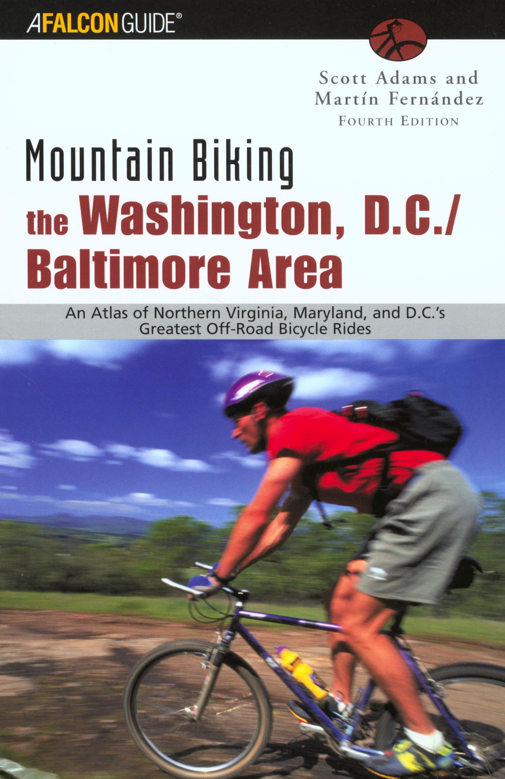
It’s hard to believe that it has been nearly 25 years since I took over the popular cycling guide originally penned by Scott Adams. In the mid 90s Scott approached the Mid-Atlantic Off-Road Enthusiasts (MORE) to see if the club was interested in updating the book and taking over the tasks of releasing the second edition. At the time I was on the club’s Board of Directors and when a majority vote declined the offer, I made a motion to allow me to take over. Since then I have updated the book three times. Now in its fifth edition, the book remains a popular guide for people getting into mountain biking and finding places to ride in the D.C. and Baltimore regions.
I’v started to work on updates in anticipation of releasing the 6th edition and figured I start a journal documenting everything associated with the new publication. Beyond that, l also hope to share other stories and anything I come across associated with the endeavor, even if it’s off the beaten path or slightly unrelated to cycling. I’ve found, over the course of 4 editions, that there are often great stories to tell about the history surrounding a trail that seldom make the printed copy. It’s here I hope to share those with you . For now, here’s a visual archive of all 5 editions, including a little background on each…
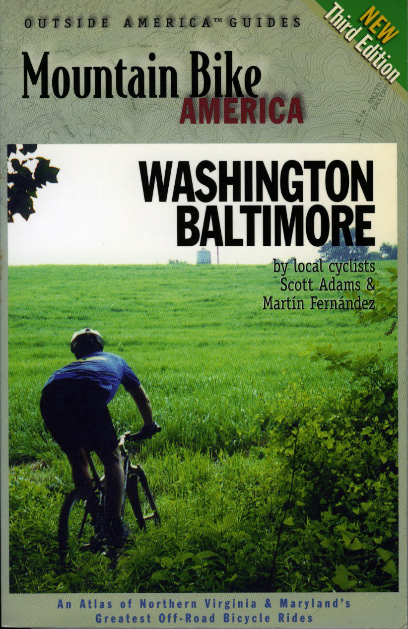
The second edition of Mountain Biking the Washington D.C./Baltimore Area was the first one I worked on.
Shortly after Scott approached MORE to take over the book I began to update the rides in the first edition and then began to add a few more.
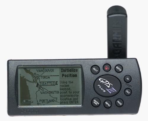
Back in the early 90s riding destinations in and around D.C. were really limited and the internet had yet to take hold. GPS units were rare and when I ventured out on the trail with a my gigantic Garmin GPS III strapped to my handlebars it often turned heads.
So much has changed since those days, but the maps we put together for the second and subsequent editions were often the book’s selling point. The Garmin III allowed me to overlay tracks on USGS Map grids to easily create accurate maps for the book.
Where it all Began.
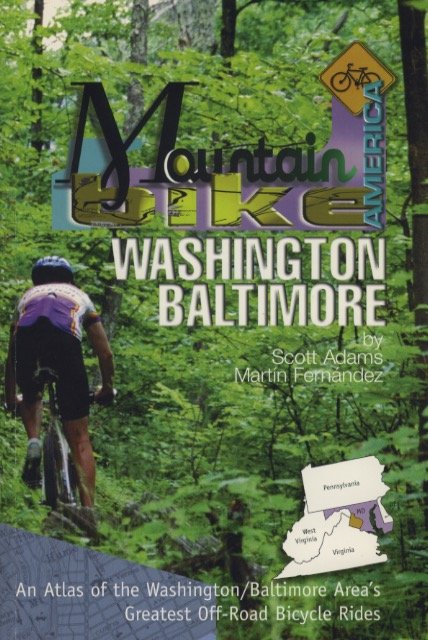
Scott’s original book, The Washington Baltimore Mountain Bike Book, included 25 rides in Maryland, Northern Virginia and the District. Since taking over I’ve made considerable updates. The most current edition contains 44 rides with detailed directions and maps, 19 honorable mentions and 6 gravel routes. Once I took over Mountain Biking the Washington D.C./Baltimore Area, Scott went on to work On Mountain Biking Virginia, another book I’ve since taken over and re-written.
I’m currently planning and working on the 6th edition of the guide and hope to have it in your hands soon. Stay tuned. In the meantime, please visit my Amazon Author page to view all of my existing regional cycling guides.


